In today’s digital age, transparency, efficiency, and accessibility are the key pillars of public governance. The Government of Madhya Pradesh has taken a significant step toward digital transformation with the launch of WebGIS 2.0 MP Bhulekh, an advanced online platform designed to make land record management easier, more accurate, and user-friendly for citizens.
What is MP Bhulekh WebGIS 2.0?
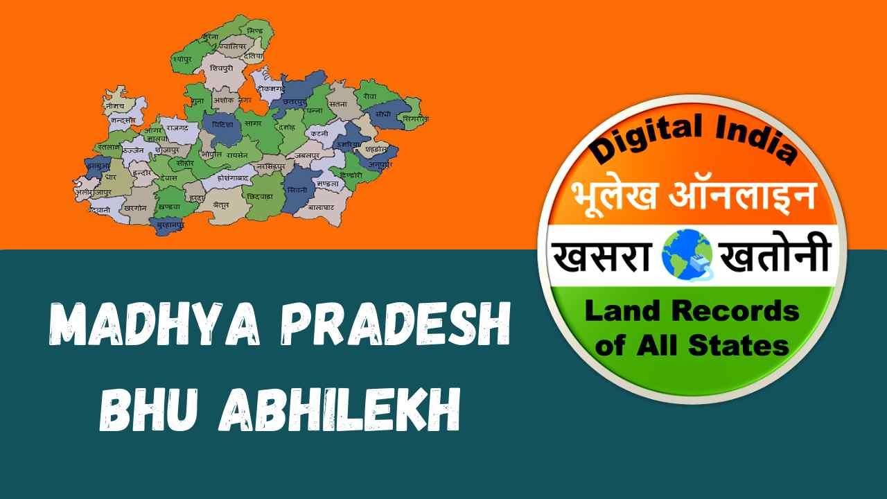
mpbhulekh WebGIS 2.0 is the upgraded version of the Madhya Pradesh Bhulekh portal, developed by the Revenue Department of Madhya Pradesh. This system integrates Web-based Geographic Information System (GIS) technology with the existing land record database. Essentially, it combines traditional textual land data with digital mapping to provide a complete view of land ownership, boundaries, and geographical details — all accessible online.
Through this platform, citizens can view land maps (Bhu-Naksha), Khasra details, B1 and P-II records, and other property-related documents without needing to visit the tehsil or revenue offices physically.
Key Features of WebGIS 2.0 MP Bhulekh
The new version introduces several innovative and user-focused features aimed at improving accuracy and user experience.
1. Interactive Digital Maps (Bhu-Naksha Integration)
The WebGIS system links the textual data from Bhulekh with spatial data from Bhu-Naksha. Users can zoom in, view, and verify their land parcels, plot boundaries, and adjacent plots in an interactive format.
2. Real-Time Data Updates
Land records are regularly updated in coordination with tehsil-level systems. This ensures that the data displayed online reflects the latest mutations, transfers, and ownership changes.
3. User-Friendly Interface
WebGIS 2.0 offers a simplified, modern interface with a responsive design, allowing access from computers, tablets, or smartphones. The map tools are intuitive, enabling even non-technical users to explore their land details easily.
4. Layer-Based GIS Visualization
The system supports multiple data layers — such as village boundaries, survey numbers, roads, rivers, and administrative divisions — providing a comprehensive geographic context to the land records.
5. Search Options
Users can search land details using multiple parameters like:
District
Tehsil
Village
Khasra number
Landowner’s name
6. Downloadable Records
Important documents such as Khasra, B-1, and P-II reports can be viewed, printed, or downloaded directly for official or personal use.
7. Transparency and Security
The integration of digital mapping with official data prevents duplication, fraud, and unauthorized land transfers. Each record is verified and traceable through official channels.
Benefits of WebGIS 2.0 MP Bhulekh
The system has brought several advantages for both citizens and government authorities:
1. Ease of Access for Citizens
Landowners can now check their property details 24/7 without standing in long queues at government offices. This saves time and reduces dependence on intermediaries.
2. Transparency and Accountability
With public access to verified land maps and ownership data, the system minimizes corruption and enhances trust between citizens and the government.
3. Accurate Land Management
The integration of GIS mapping enables better land planning, dispute resolution, and infrastructure development decisions.
4. Support for Revenue Administration
Officials can quickly verify data, track ownership history, and plan resource allocation efficiently. It also supports e-governance initiatives by creating a centralized digital land record database.
5. Legal and Financial Benefits
Since the records available through WebGIS 2.0 are authenticated, they can be used in loan applications, legal disputes, or land sale transactions as proof of ownership.
How to Use MP Bhulekh WebGIS 2.0
Accessing the WebGIS 2.0 MP Bhulekh portal is simple and straightforward. Here’s a quick step-by-step guide:
1. Visit the Official Website:
Go to the official MP Bhulekh portal – [https://mpbhulekh.gov.in](https://mpbhulekh.gov.in).
2. Open the WebGIS 2.0 Section:
Click on the WebGIS 2.0 or Bhu-Naksha link available on the homepage.
3. Select Your Area:
Choose your district, tehsil, and village from the dropdown menu.
4. Enter Khasra Details:
Input the Khasra number or owner’s name to locate your land parcel.
5. View Map and Land Details:
The digital map will highlight the selected plot. You can view boundaries, ownership details, and related documents.
6. Download or Print Documents:
Click on the print or download option to save Khasra or B-1 records for offline reference.
Technological Advancement in Land Governance
The launch of WebGIS 2.0 represents a major milestone in the Digital India mission and the National Land Records Modernization Programme (NLRMP). By integrating GIS mapping, the Madhya Pradesh government has made its land administration more robust, transparent, and technologically advanced.
GIS-based systems not only benefit individuals but also assist government departments in:
Urban planning and development
Agricultural land monitoring
Disaster management
Forest and water resource mapping
Future Scope of WebGIS 2.0
With ongoing upgrades, future versions of MP Bhulekh may include features like mobile app access, real-time mutation tracking, integration with Aadhaar, and 3D visualization of land parcels. These enhancements will further strengthen the digital infrastructure of land management in the state.
Conclusion
WebGIS 2.0 MP Bhulekh is a revolutionary initiative by the Madhya Pradesh government, combining the power of GIS technology with the transparency of e-governance. It empowers citizens with easy access to land information, promotes accountability in public service, and supports sustainable land management across the state.
By embracing digital innovation, MP Bhulekh is paving the way toward a future where every citizen can access accurate land records at their fingertips — bringing us closer to the vision of a Smart and Transparent Madhya Pradesh.